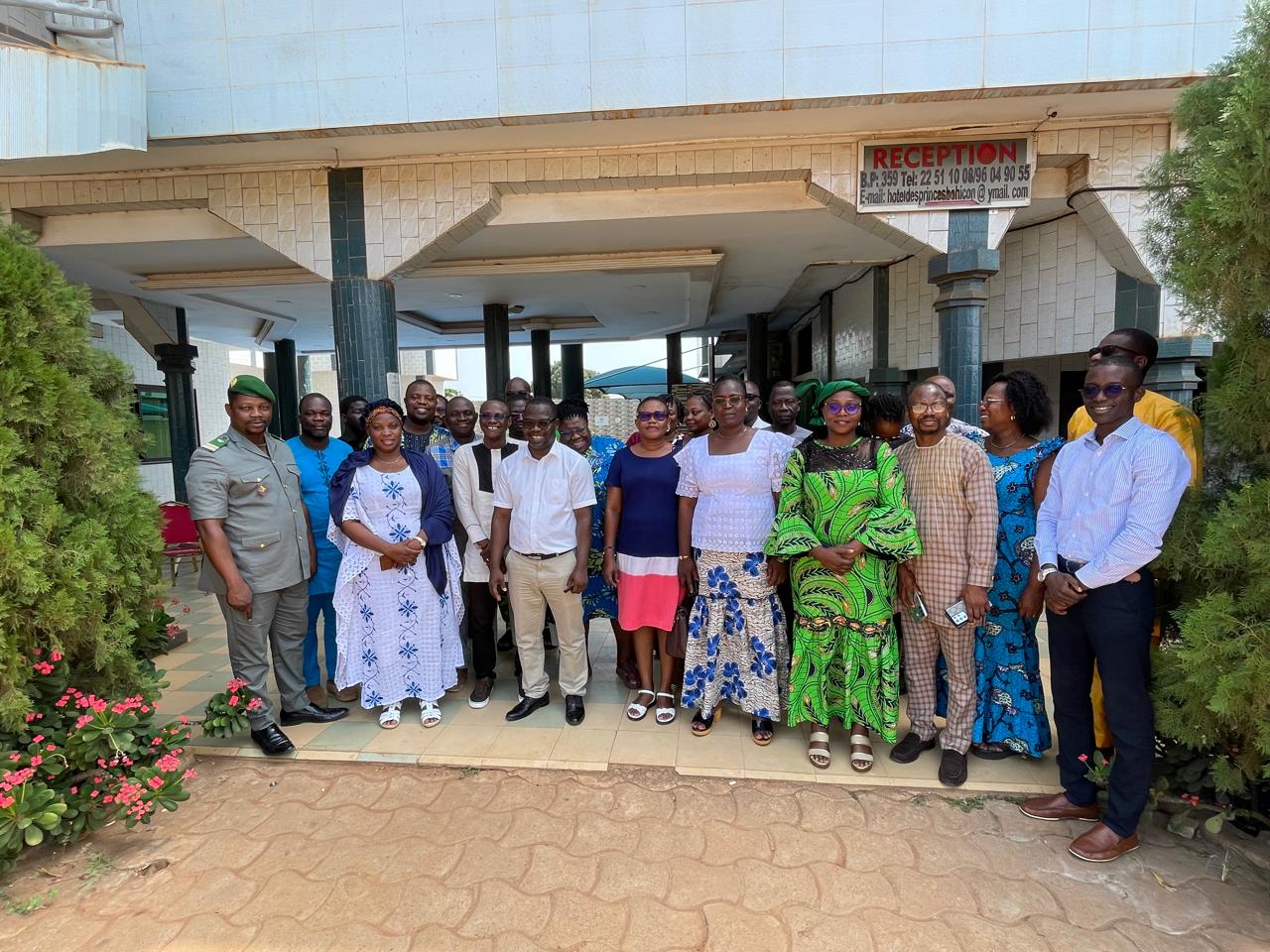
Towards Land Degradation Neutrality: Validation of New Targets for Sustainable Land Management in Benin, November 19-20, 2024
A national workshop was held on November 19-20, 2024, in Bohicon, Benin, under…
GuetCrop : Crop Monitoring and Early Warning in North Africa” is an online decision support system about agricultural production anomaly hotspots, developed by the JRC and the GMES&Africa – OSS/North Africa Consortium for food security crises prevention and corrective action planning.
GuetCrop is a system based on near-real-time Earth Observation and Weather information, it provides automatic ten-day drought warnings for crops and rangelands through intuitive dashboards and a customizable interface.
What is the use of GuetCrop ?
Satellite remote sensing provides the opportunity to have relevant and timely information in areas where field data are scattered, diverse, or frequently unavailable. Rainfall estimates provide an outlook of the drivers of vegetation growth, whereas time series of satellite-based biophysical indicators at high temporal resolution provide key information about vegetation status and growth in near real-time and over large areas.
GuetCrop aims at providing relevant information and early warning on possible crop production anomalies in support to farmers and agriculture stockholders. Besides, GuetCrop makes it possible to monitor on a near-real time basis the vegetation conditions in general and crops and rangelands in particular, and is highly important for natural resources managers, particularly in food insecure countries.
In fact, with this platform, it is possible to detect crop and pastures production drops as early as possible through automatic use and analysis of decadal EO-derived vegetation indicators in order to deliver anomaly maps, warning of production deficits in water-limited agricultural systems.
The analysts check the automatic warnings to identify the countries or regions which qualify as “hotspots” because of their potentially critical conditions, and can analyse the temporal dynamics using high spatial resolution.
Indeed, the platform provides interactive time profiles derived from these indicators to allow the spatio-temporal analysis of vegetation response, using different Earth Observation data sources.
http://guetcrop.oss-online.org/

A national workshop was held on November 19-20, 2024, in Bohicon, Benin, under…

The Sahara and Sahel Observatory, represented by Mohamedou Baba Sy, Director of…

The OSS side event on “Early Warning Systems: An Effective Mechanism for Climate…